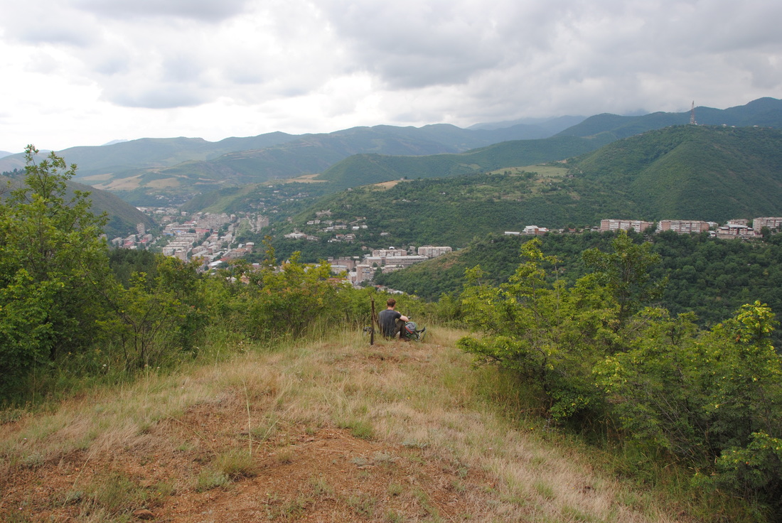
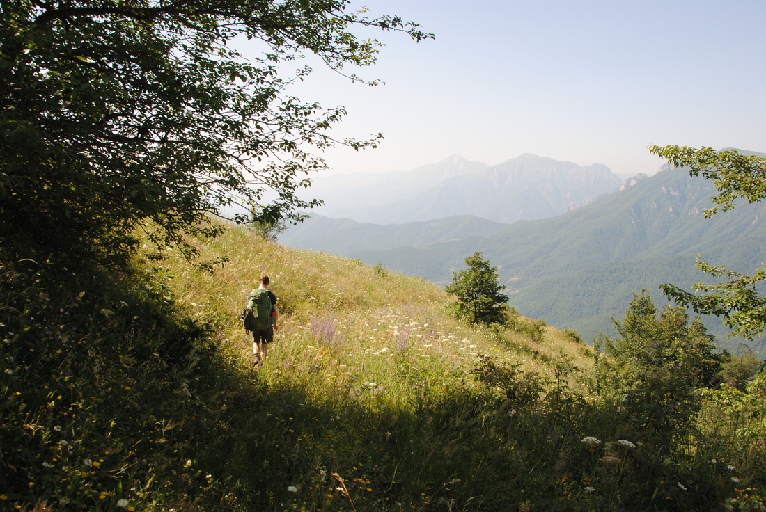
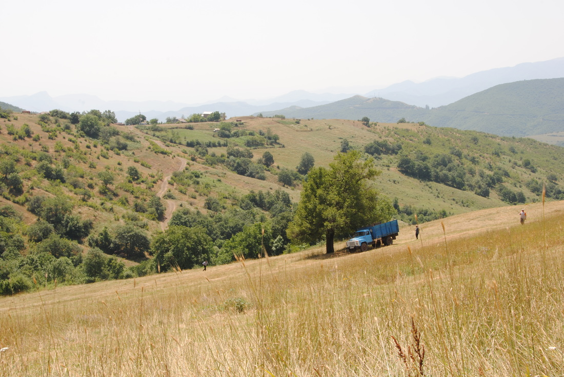
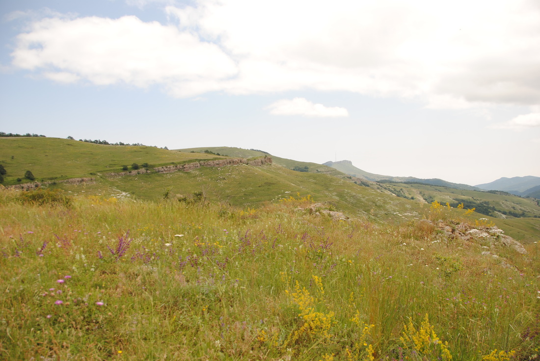
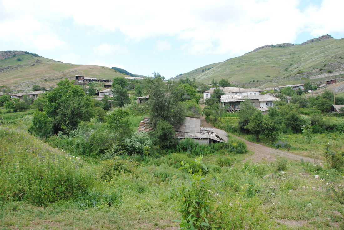
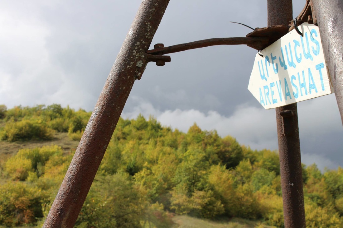
• Home
  • About
    • Our Story
    • Our Team
    • Our Projects
    • Our Supporters
  • Blog
  • Explore Kapan
    • Getting There
  • Tours
    • Take the Adventure
  • Tatev - Khustup Hiking Trails
    • General Guide
    • Flora & Fauna
    • Tatev - Tandzaver
    • Tandzaver - Antarashat
    • Antarashat - Arajadzor
    • Arajadzor - Shgharshik
    • Shgharshik - Vahanavank
    • Vahanavank - Bekh
    • Bekh - Bekh Anapat
    • Bekh Anapat - Vachagan
    • Vachagan - Baghaburj
    • Baghaburj - Khustup
  • Other Hiking Trails
    • Bardzraven - Tandzaver
    • Tandzaver - Verin Khotanan
    • Verin Khotanan - Tavrus
    • Verin Khotanan - Shrvenants
    • Dacha Trails (Arevashat)
    • Voghji Valley
    • Mount Khustup
  • Social Enterprise
  • Get Involved
    • Volunteer
    • Donate
  • На русском
  • ARK Ecological NGO
  • Home
  • About
    • Our Story
    • Our Team
    • Our Projects
    • Our Supporters
  • Blog
  • Explore Kapan
    • Getting There
  • Tours
    • Take the Adventure
  • Tatev - Khustup Hiking Trails
    • General Guide
    • Flora & Fauna
    • Tatev - Tandzaver
    • Tandzaver - Antarashat
    • Antarashat - Arajadzor
    • Arajadzor - Shgharshik
    • Shgharshik - Vahanavank
    • Vahanavank - Bekh
    • Bekh - Bekh Anapat
    • Bekh Anapat - Vachagan
    • Vachagan - Baghaburj
    • Baghaburj - Khustup
  • Other Hiking Trails
    • Bardzraven - Tandzaver
    • Tandzaver - Verin Khotanan
    • Verin Khotanan - Tavrus
    • Verin Khotanan - Shrvenants
    • Dacha Trails (Arevashat)
    • Voghji Valley
    • Mount Khustup
  • Social Enterprise
  • Get Involved
    • Volunteer
    • Donate
  • На русском
  • ARK Ecological NGO
  ARK Armenia

dacha trails


Arevashat

The 10.1 km Arevashat trail is our newest hiking trail, connecting the ARK Dacha Ecocamp in Arajadzor village to the suburban Halidzor district, approximately 5 km west of Kapan. From here one can start the Voghji Valley trails towards Halidzor Fortress and Vahanavank Monastery.

Arevashat literally means "lots of sun" in Armenian. The trail passes through hills and forest, starting with a gentle climb and then descending down the valley.


For detailed maps, weather information, logistical details and downloadable files, please visit this trail's individual page on GPSies
Picture

Gallery


Contact Us

Powered by Create your own unique website with customizable templates.